Contact Us
Are you interested in cooperation? Give us a call or write to us – we will answer any questions.

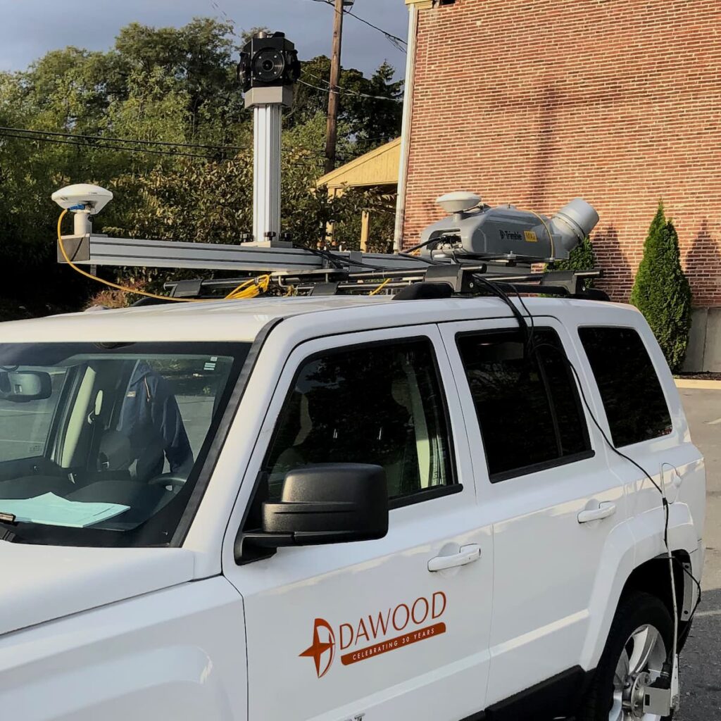
Mobile mapping is the process of capturing geospatial data using mobile platforms equipped with advanced sensors. By integrating laser scanners into these platforms, we can now obtain highly detailed and accurate 3D representations of the surrounding environment. From road networks and infrastructure to urban planning and asset management, mobile mapping has transformed the way we collect and analyze spatial data.
At the heart of mobile mapping lies the remarkable laser scanner technology. By emitting laser pulses and measuring the time it takes for them to return, these scanners create precise 3D point clouds of the surroundings. This allows for accurate measurements, detailed visualization, and comprehensive analysis of objects, terrain, and structures. The speed and efficiency of laser scanning ensure that data acquisition is swift, enabling faster decision-making and project completion.

01.
Assessing road conditions, surveying bridges and tunnels, monitoring railway tracks, and optimizing transportation networks.
02.
Creating detailed digital models of cities, analyzing traffic flow, identifying potential risks, and developing sustainable urban environments.
03.
Efficiently managing and maintaining assets such as pipelines, power grids, and telecommunications infrastructure.
03.
Mapping and monitoring natural resources, tracking vegetation changes, and assessing the impact of climate change.
01.
State-of-the-art laser scanning equipment: We employ the latest laser scanning technology to ensure superior data quality and accuracy.
02.
Customized solutions: We tailor our mobile mapping solutions to meet your specific project needs, delivering actionable insights and measurable results.
03.
Timely and efficient data acquisition: With our cutting-edge technology and streamlined processes, we provide rapid data acquisition to support your project timelines.
03.
Expert data analysis: Our skilled analysts translate raw data into meaningful information, empowering you to make informed decisions and gain a competitive edge.
Are you interested in cooperation? Give us a call or write to us – we will answer any questions.
