
Contact Us
Are you interested in cooperation? Give us a call or write to us – we will answer any questions.
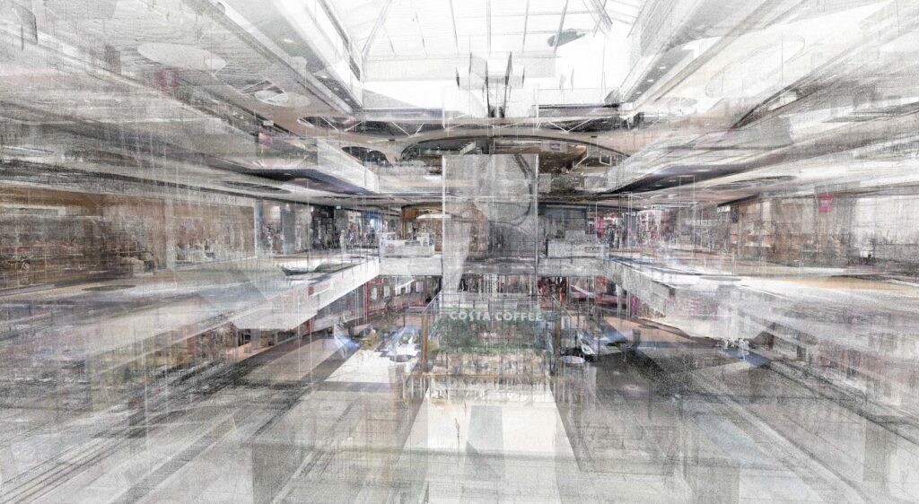
Essentially, it is a tool for analyzing objects and their surroundings in the real world, providing comprehensive data on shapes and dimensions. The collected information is necessary for creating accurately represented digital 3D models. Due to its operation, this process eliminates the need for physical contact with the measured form. This allows for avoiding any damage or human errors – simply direct a beam of light onto the structure and create its digital 3D replica.
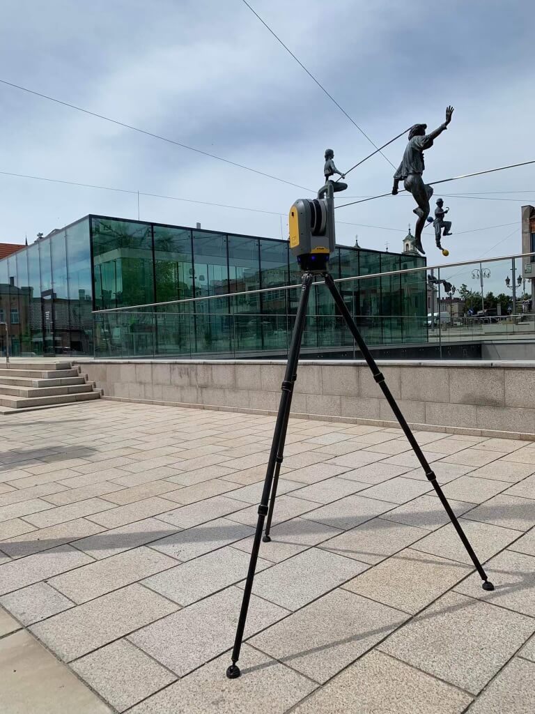
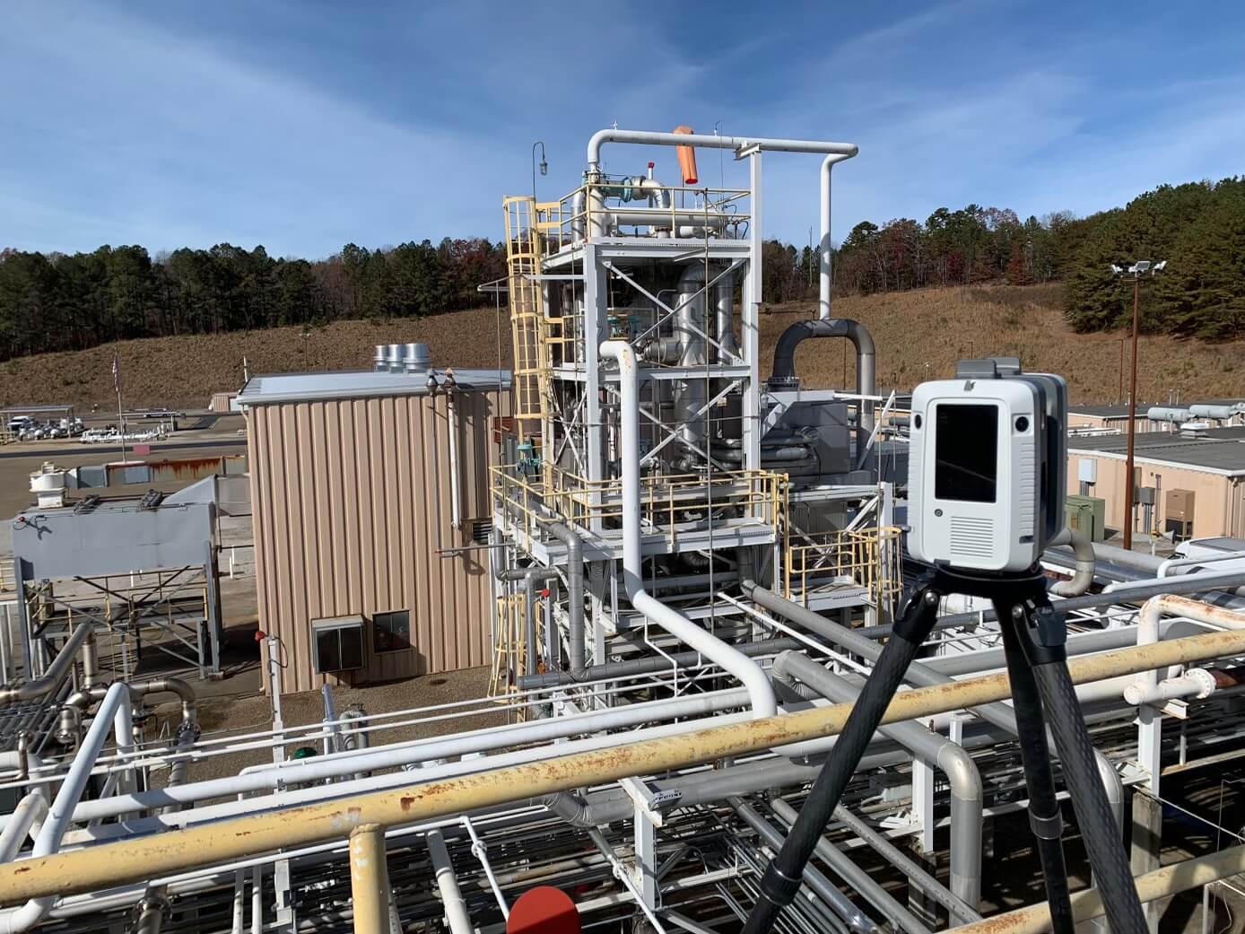
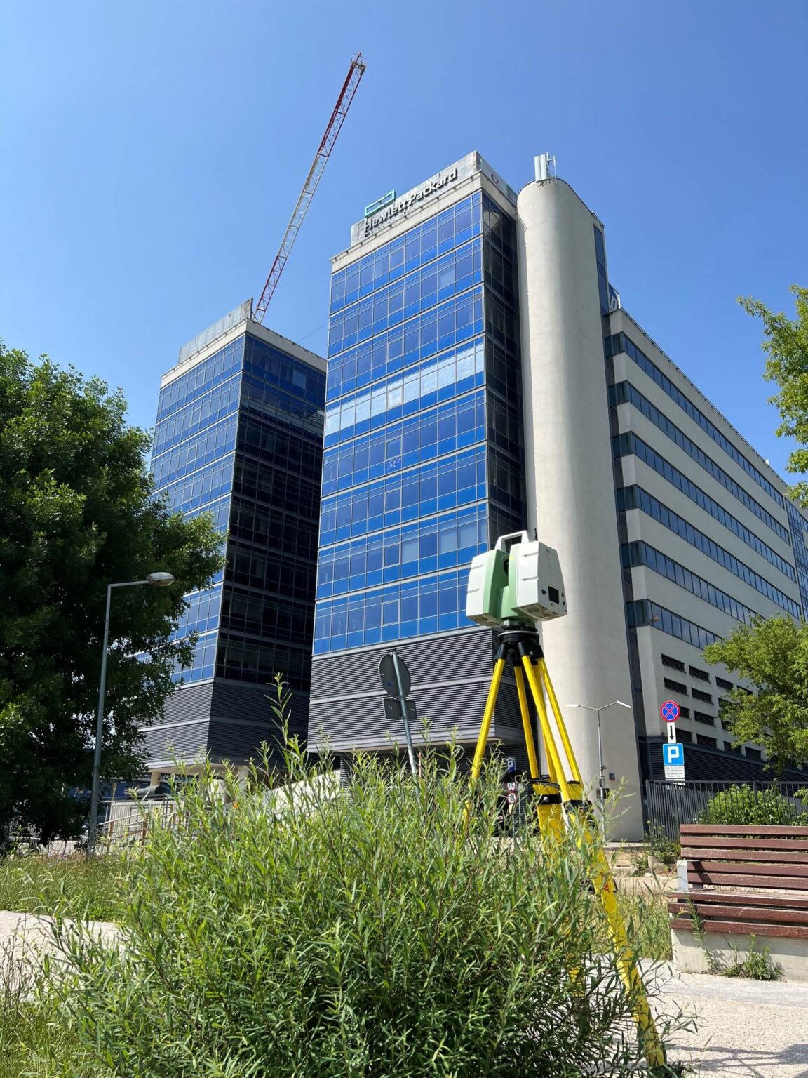
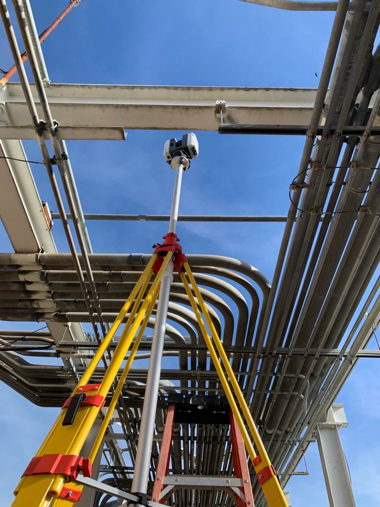
Thanks to the advancing technology of 3D scanning, we now have several methods to reflect existing objects in the form of digital 3D models. Various tools come to our aid: from handheld scanners and compact models to tripod-mounted, high-performance modules. When combined with a camera, a drone, LIDAR, suitable applications, and, most importantly, the hard work of talented specialists, you can create any project.
Geodetic technicians – for surface and building mapping.
Construction workers, architects, engineers – for measuring buildings, interiors, or the surrounding environment of a constructed or planned object.
Designers – for interior design as well as industrial or commercial projects resulting from the need for changes and extensions to existing buildings.
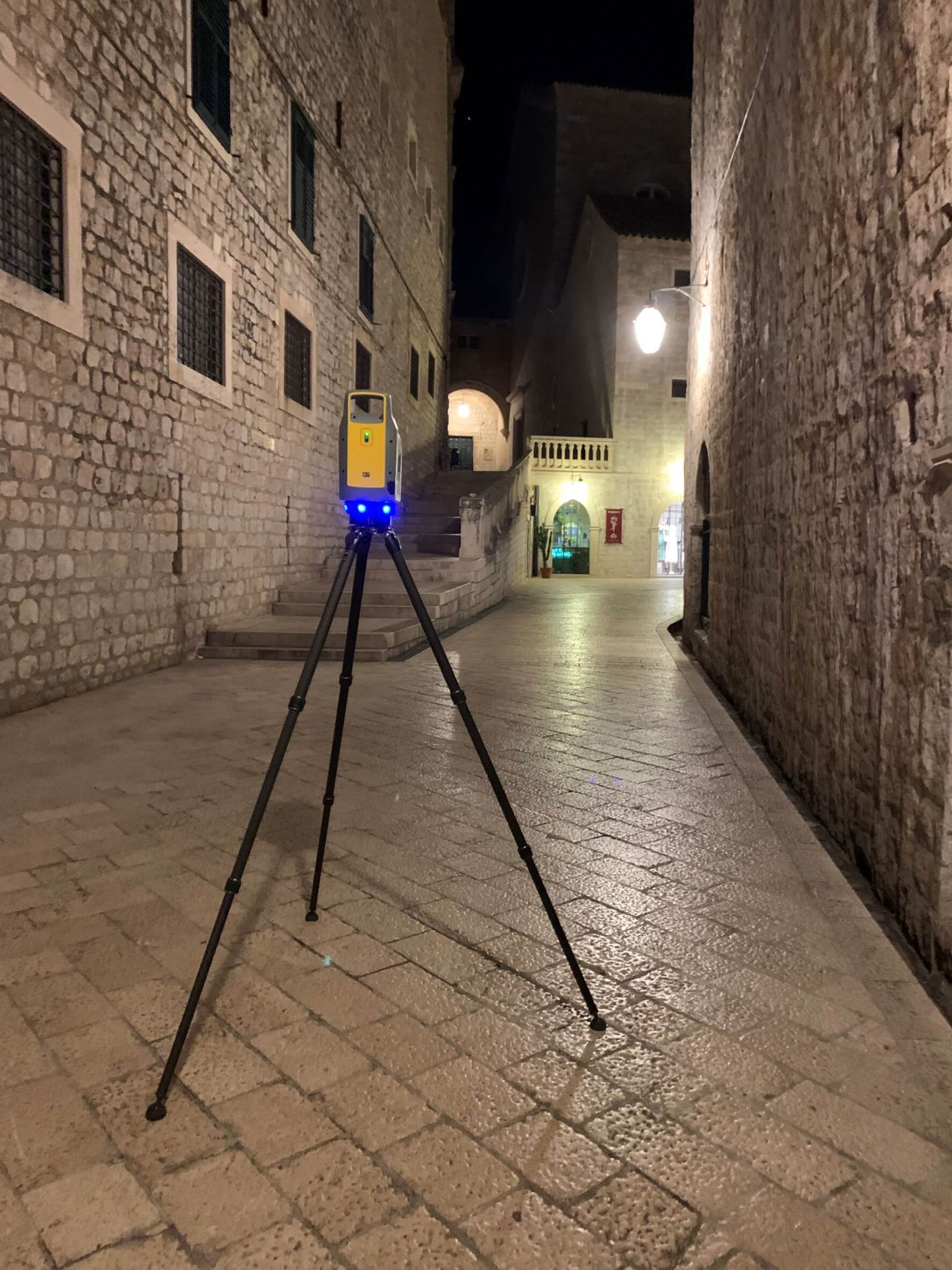
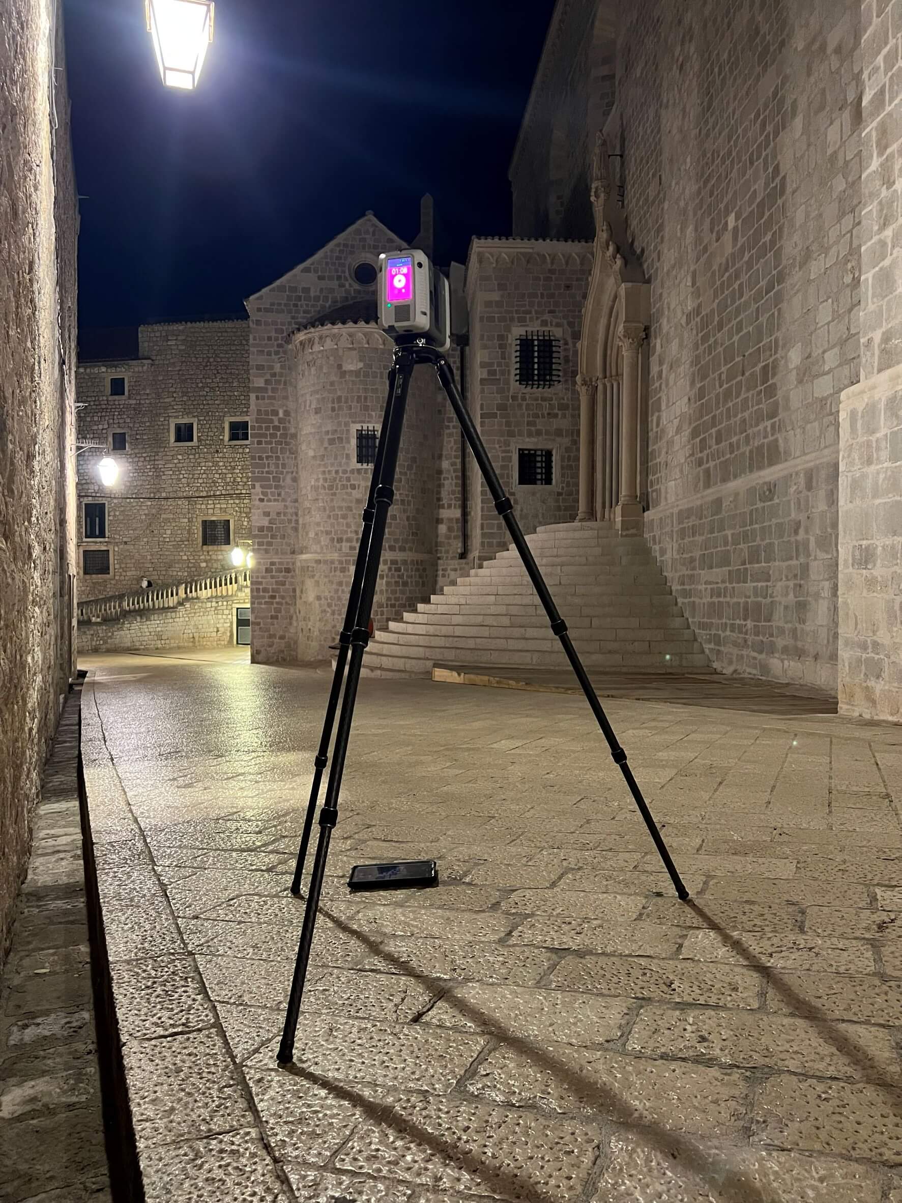
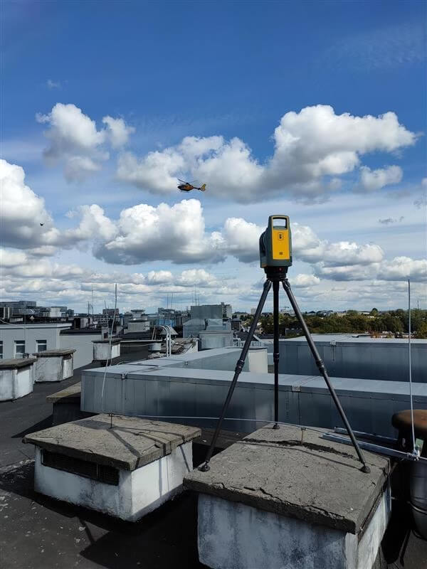
Geodetic technicians are increasingly enriching their portfolios with 3D scanning services thanks to a wide range of available devices.
Depending on the type of equipment, they can provide different levels of precision, range, and efficiency, which is why choosing the right one for a specific structure is crucial.
It assists in visualization, acquisition, processing, and sharing of digital forms with high precision and quality, as well as time savings.


The technology based on Time-of-Flight (TOF) is most useful when mapping large spaces and operates on a simple principle: a laser beam/pulse emitted from the device hits the target structure, and a portion of it reflects back to the device’s receiver.
3D laser scanning using TOF can operate up to 1000 meters, but the most common range is 10-400 meters.
Despite its incredible range, there is a drawback to this measurement method. TOF is less efficient in data processing, as the data acquisition speed ranges from hundreds to thousands of points per second.
In terms of accuracy, it depends on the quality of the input signal reflected from the object and the precision of its measurement by the receiver. Typically, the measurement error ranges from 4 to 10 millimeters and depends on the specifications of the system used.
Most TOF scanning devices also have the option to capture RGB data using integrated cameras or external mirrors.
Devices based on this model emit signals in varying phases and then estimate the distance to the structure by measuring the frequency emitted and returned to the sensor. This technique is suitable for surfaces with a radius of 90-130, but the typical recommended working space for scanning devices is from 1 to 55 meters.
All phase-based devices, when it comes to 3D laser scanning, are considered the most efficient in capturing point clouds, counting up to a million points per second (pps). High accuracy is another advantage that sets them apart from the Time-of-Flight technique. They also provide the option of capturing RGB data, similar to the previous technology.
In this case, the laser is one of the three essential elements for conducting measurements. The second element is the object being scanned, and the third is the reading sensor.
By placing the first and third elements in the appropriate positions, a triangle is formed, where the angles and distances between them are precisely measured. After proper setup, the source emits a beam that reflects off the target towards the sensor, and in this way, using trigonometry, the distance from the structure to the laser is measured.
This technology is suitable for measurements up to 5 meters, as accuracy decreases with increasing distance. Triangulation-based devices, often mounted in the form of portable handheld scanners, are suitable for mapping structures ranging from 1 cm to 5 m in size.
In summary, all 3D scanning techniques rely on the interpretation of incoming signals:
For Time-of-Flight, it involves measuring the microseconds it takes for light to travel from the source to the target and back to the integrated reading sensor.
Phase-based scanning units need to calculate the discrepancy between the light they emit and the light they receive.
Triangulation-based devices use trigonometry to calculate distances between the three elements.
Laser scanning, like any technology, has its advantages and disadvantages. The benefits include fast measurements and high accuracy. In the past, the drawbacks included high costs of scanning devices and the need for powerful computers for processing. However, over time, these drawbacks have become less significant compared to the benefits of 3D laser scanning. For objects, especially historical artifacts, that require exceptional accuracy and quality measurements, any technology other than laser scanning seems outdated. In the future, this technology, especially in the inventorying of buildings, including historical ones, will be the commonly used method, especially since it can be fully integrated with BIM technology.
Considering the variety of possible ways to work with 3D laser scanning, we can confidently state that this technology will stay with us for a long time, and its development in the coming years will bring us additional possibilities.
01.
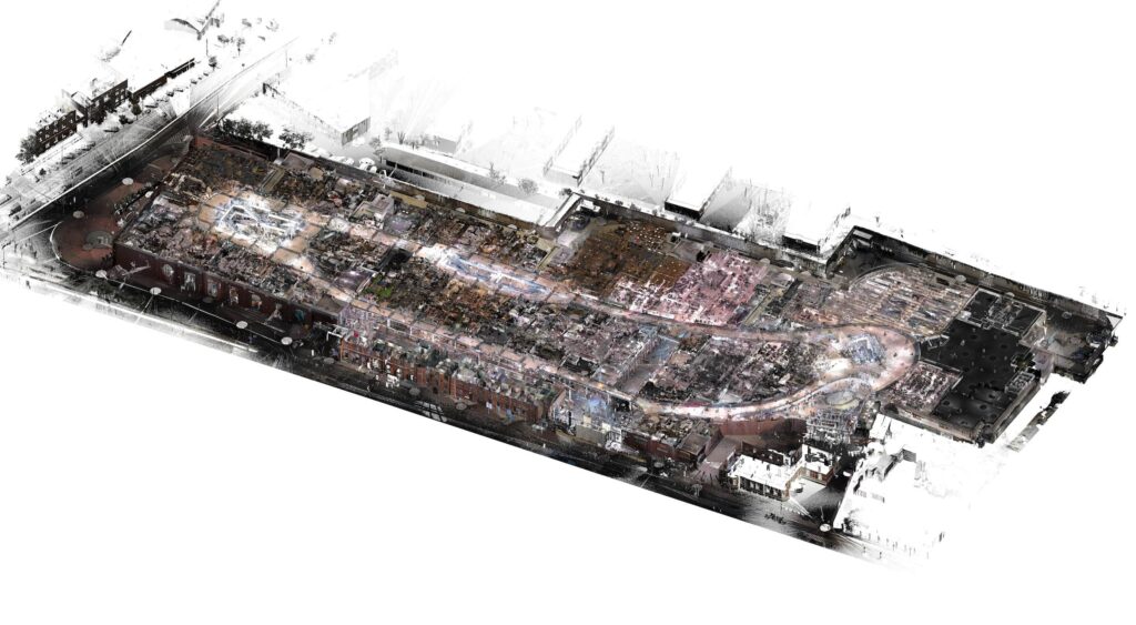
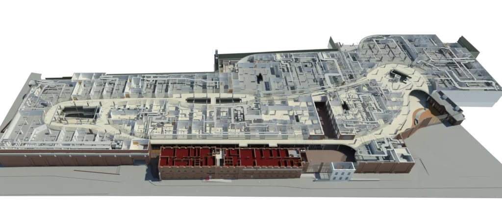
Researching various types of infrastructure provides valuable data, such as creating digital maps of new installations or mapping existing ones just before renovation. The application of 3D technology allows for a perfect representation of reality in the form of a digital image and the integration of new designs, combining everything into a coherent whole.
02.
Implementing 3D laser technology plays a crucial role in the planning, designing, construction, maintenance, and management of buildings and structures.
03.
Geodetic services enable the creation of 3D models that serve as the basis for numerous operations within intelligent digital cities. This allows urban planners to estimate risks and make decisions based on knowledge and information.
04.
Providing and processing data that are essential for planning manufacturing facilities, assessing potential collisions, or gathering documentation. It enables safe measurements in hazardous conditions.
05.
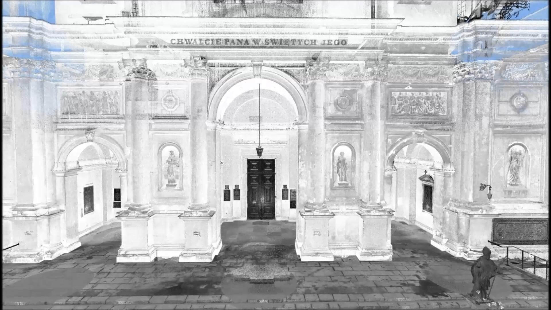
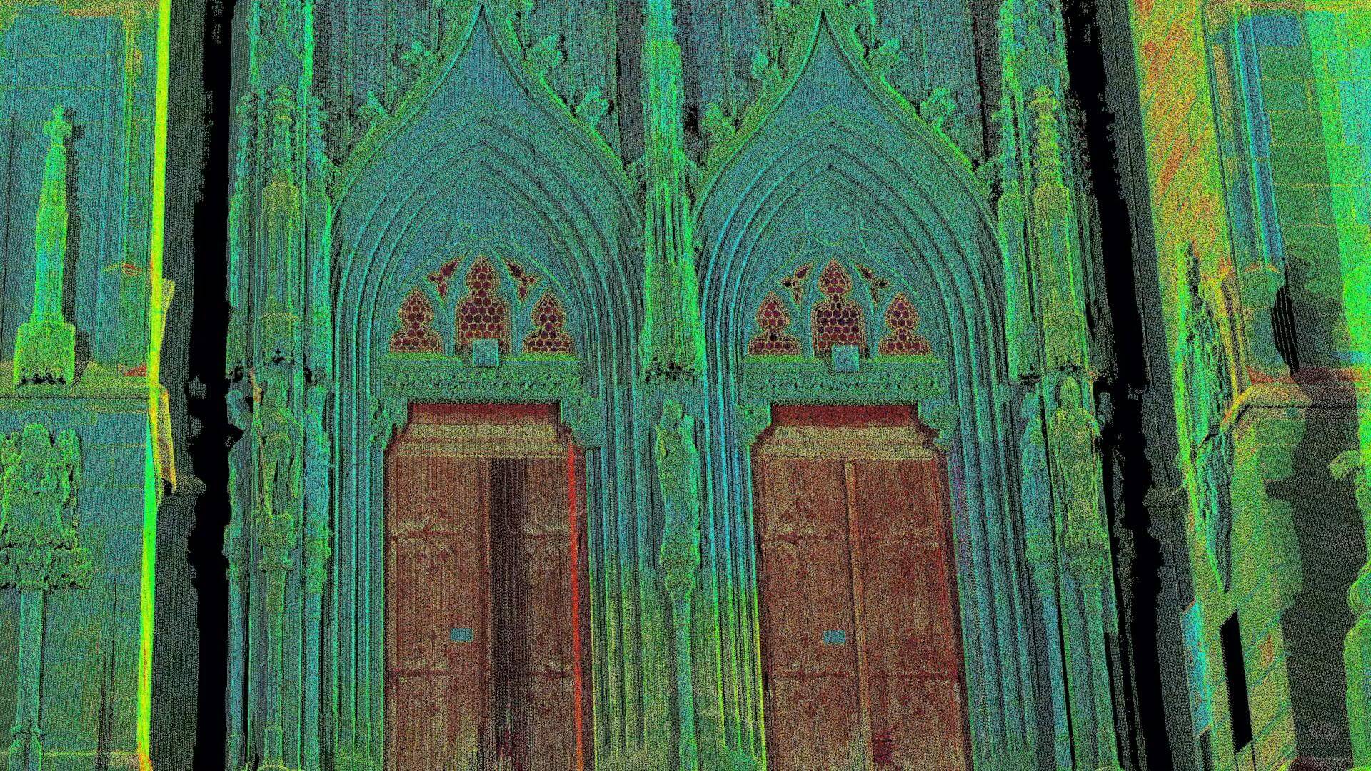
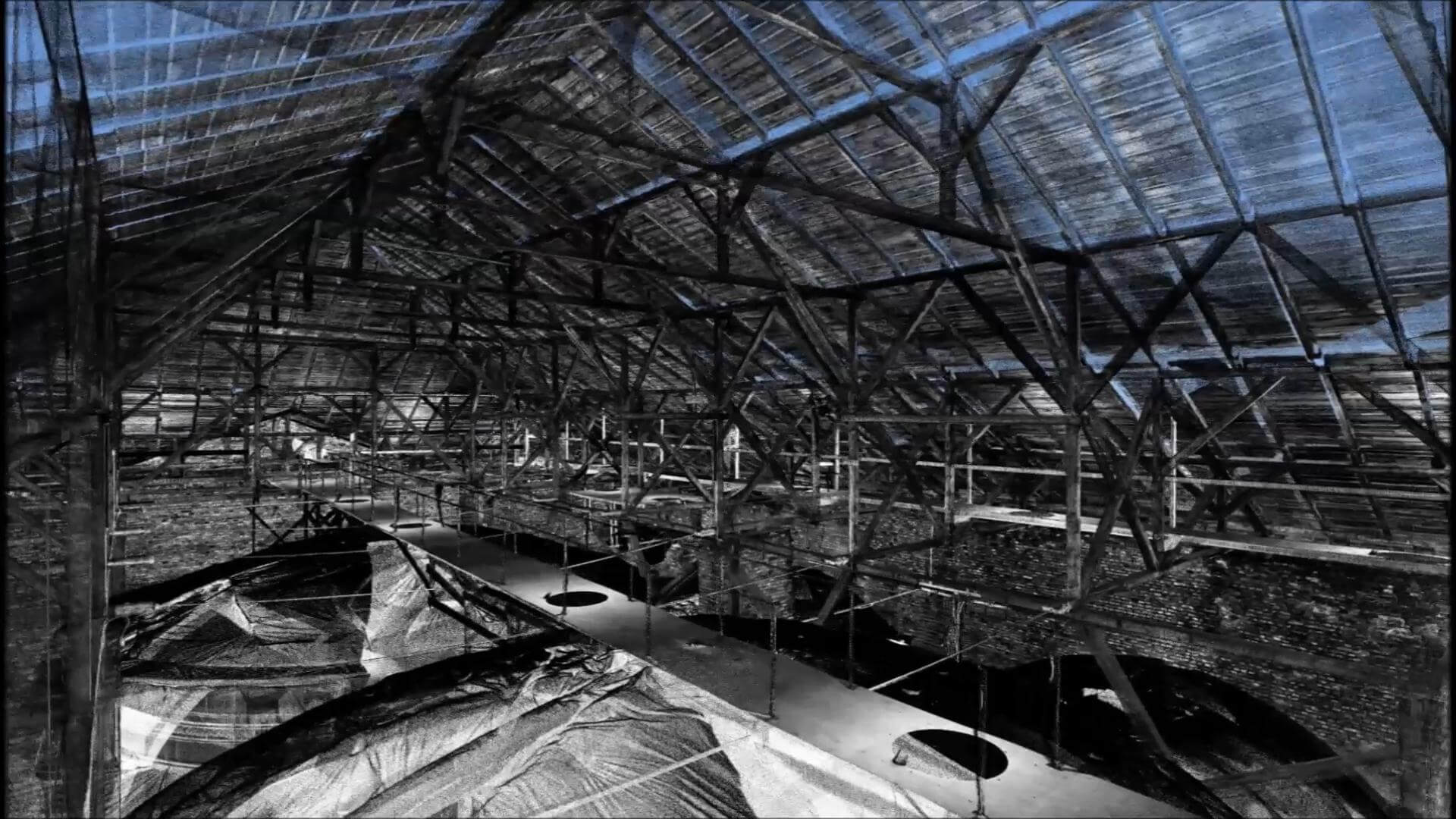
Geodetic technicians armed with scanners can measure any historical structure in high resolution. Centuries-old buildings, cultural heritage objects, or statues can be examined and documented, reducing risks for conservators and builders during their work and enabling precise planning.
06.
3D mapping devices used in mobile mapping can be the most complex in terms of the number of scanners employed.
The fusion of different mobile vehicles, such as land, aerial, and marine vehicles equipped with mapping systems, navigation, remote sensors, and many other tools, helps specialists assess and visualize the environment, whether it is on land or not.
07.
Scanning and modeling the crime scene environment, such as houses, rooms, storefronts, or large open spaces, helps capture precise data that can be very useful during investigations and accident reconstructions.
A skilled technician only needs a few minutes to take measurements and scan each element at the scene, unlike traditional methods involving video recording, photography, or measuring tapes.
There are various versions of scanning devices that find application in different situations. For large spaces, we would choose equipment that easily monitors the environment to obtain an overall picture by placing it at a central point in the scene. Fully automated devices allow forensic professionals to focus on other aspects of their work, such as interviewing witnesses or victims, without having to interact with the device.
On the other hand, we have smaller and more portable handheld devices that work well for capturing individual objects, allowing us to move the scanner to achieve better angles. Scanning the position of bodies, damaged elements, or various types of evidence left by suspects.
08.
Sometimes, it’s the secrets of the past that we need to investigate and understand in order to grasp the principles governing the world. Here again, modern technologies come to our aid.
All types of scanners play an important role when delving into archaeological excavations.
Safe and non-invasive measurements can be taken from individual pottery fragments or bones to entire buildings and ancient cities.
Archaeologists can easily digitize their findings to ultimately create a model of the researched structure in its original shape.
Thousands of high-resolution 3D scans are collected during this process in a very short time. This technology saves hours of work that would be required using other methods such as photogrammetry, GPS, and tachymetry. All the collected data allow for sharing historical discoveries in the form of documentation, virtual 3D models, or projects with everyone.
Are you interested in cooperation? Give us a call or write to us – we will answer any questions.